
Biodiversity
Special Area of Conservation asidentified by the National Parks and Wildlife Service
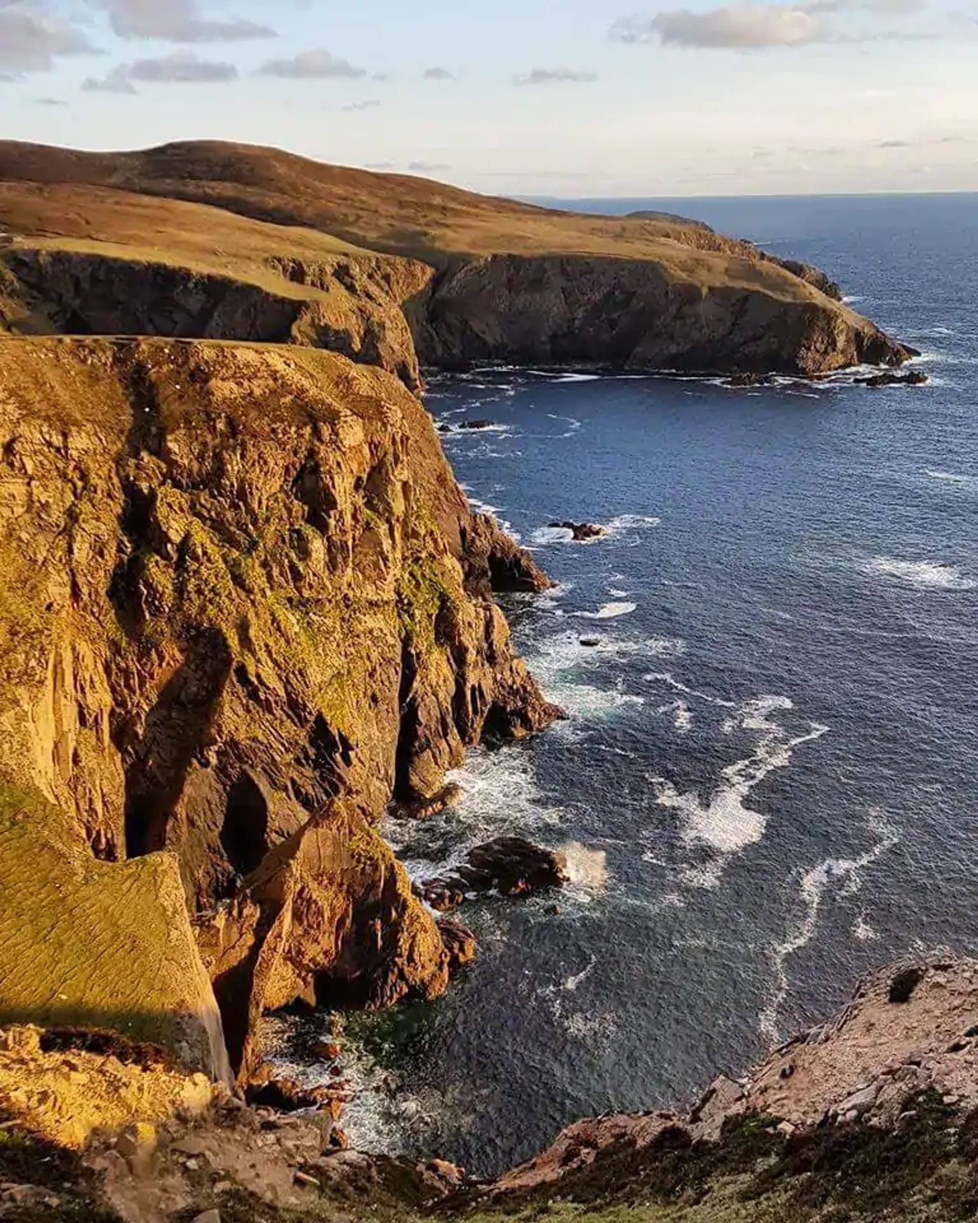
Arainn Mhór has a a Special Area of Conservation Vegetated sea cliffs of the Atlantic and Baltic coasts [1230] The distribution of sea cliffs throughout Aran Island (Donegal) Cliffs SAC, as identified by the Irish Sea Cliff Survey (Barron et al., 2011), is presented in Appendix I. https://www.npws.ie/ The OSI Discovery Map lists the headlands of Aran Island (Donegal) Cliffs SAC as Torneady Point and Rinrawros Point. The sea cliffs extend north from Cladaghlahan Bay in the south-west to Bellachreesh Bay to the north-east. The ISCS suggests that the Ballintra, Aran Island sub-site consists of hard cliffs that range in height from 10m to 140m (Barron et al., 2011). The target is that there is no decline in distribution, subject to natural processes
The SAC supports an excellent example of rocky cliff and associated vegetation habitats in a very exposed situation. The higher cliff vegetation in this SAC merges into alpine heath, which is also found along the top of the cliffs, particularly to the east of Torneady Point. Species present include juniper (Juniperus communis), bearberry (Arctostaphylos uva-ursi), crowberry (Empetrum nigrum), pale butterwort (Pinguicula lusitanica), Wilson’s filmy-fern (Hymenophyllum wilsonii) and hayscented buckler-fern (Dryopteris aemula) (NPWS, 2015).
European dry heaths [4030]
Alpine and Boreal heaths [4060]
Calcareous rocky slopes with chasmophytic vegetation [8210]
Siliceous rocky slopes with chasmophytic vegetation [8220]
Submerged or partially submerged sea caves [8330]