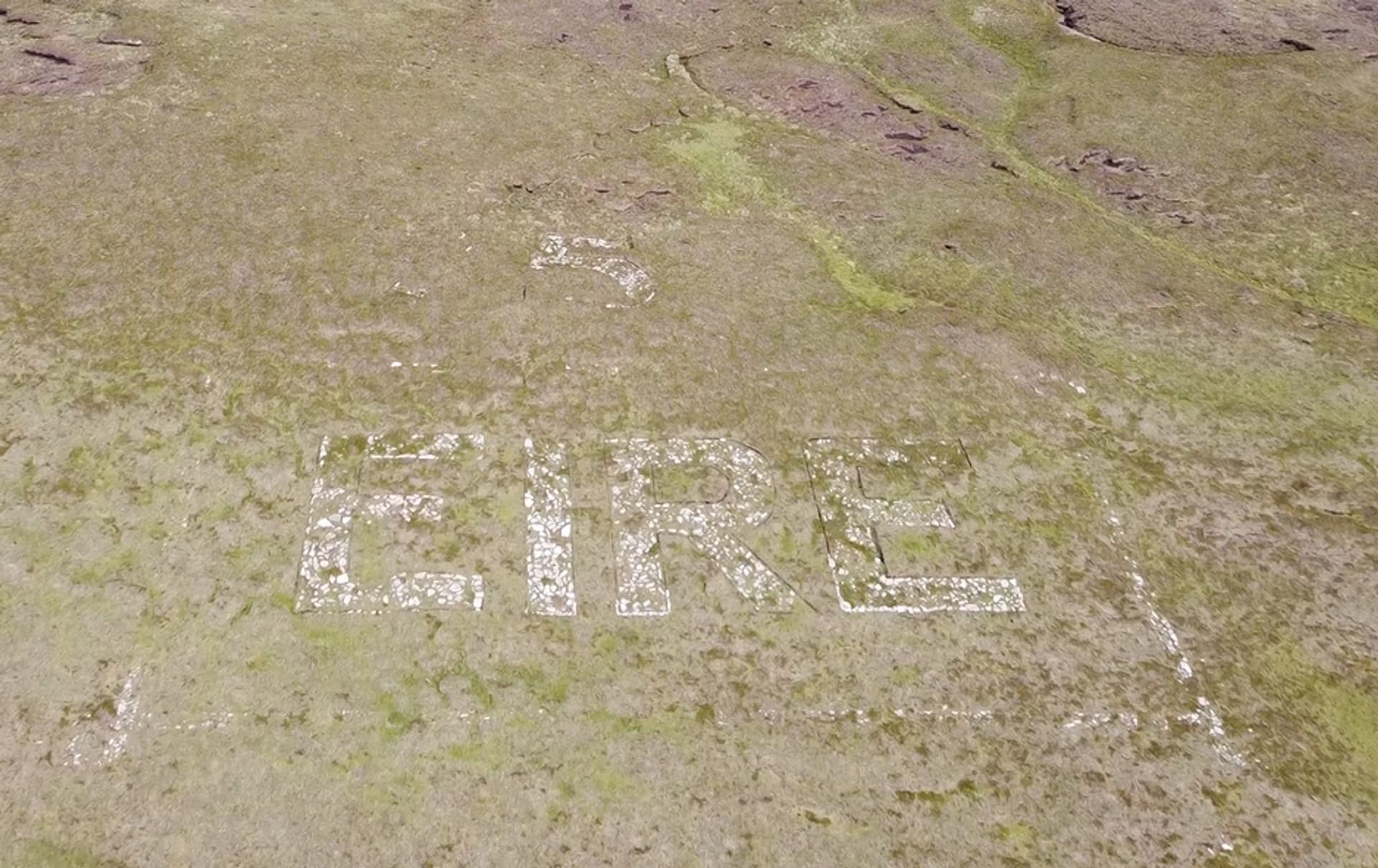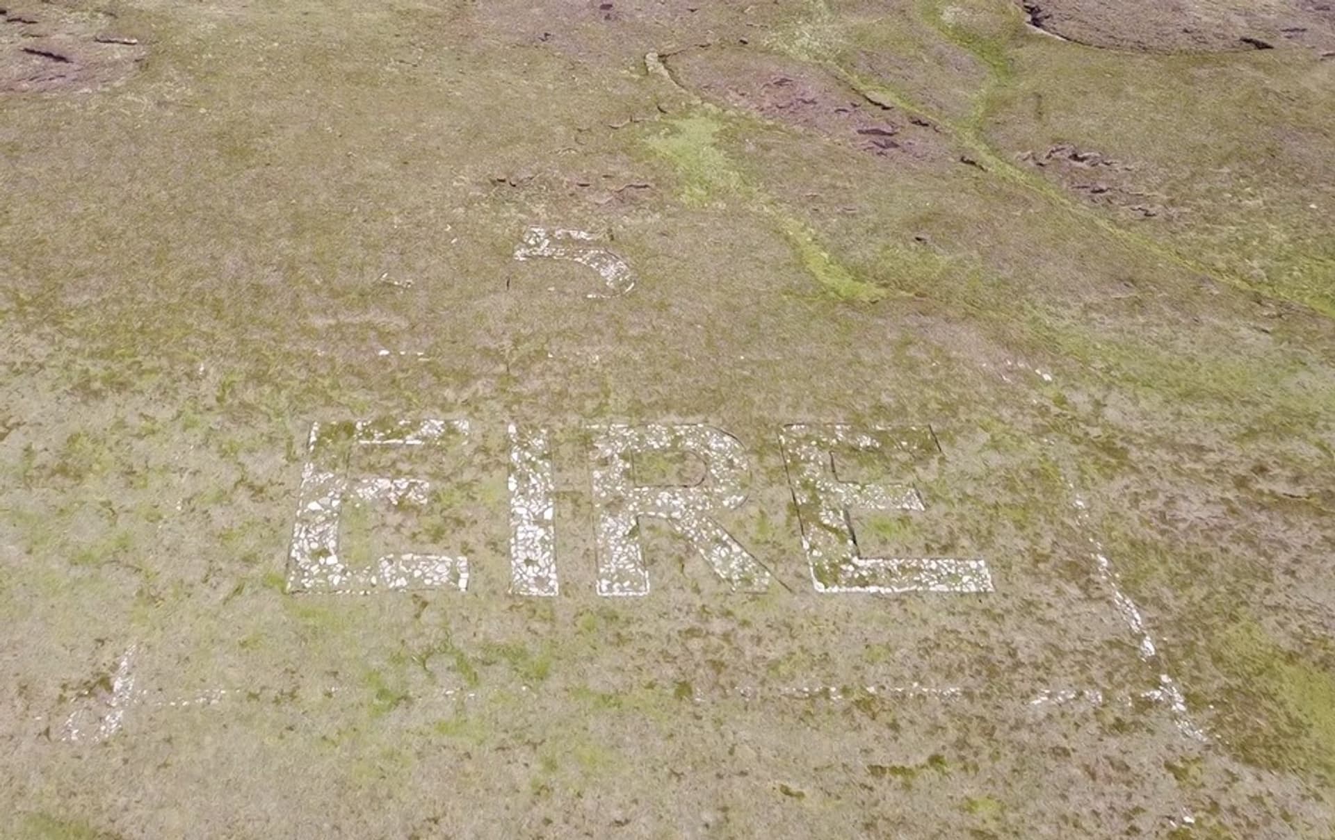
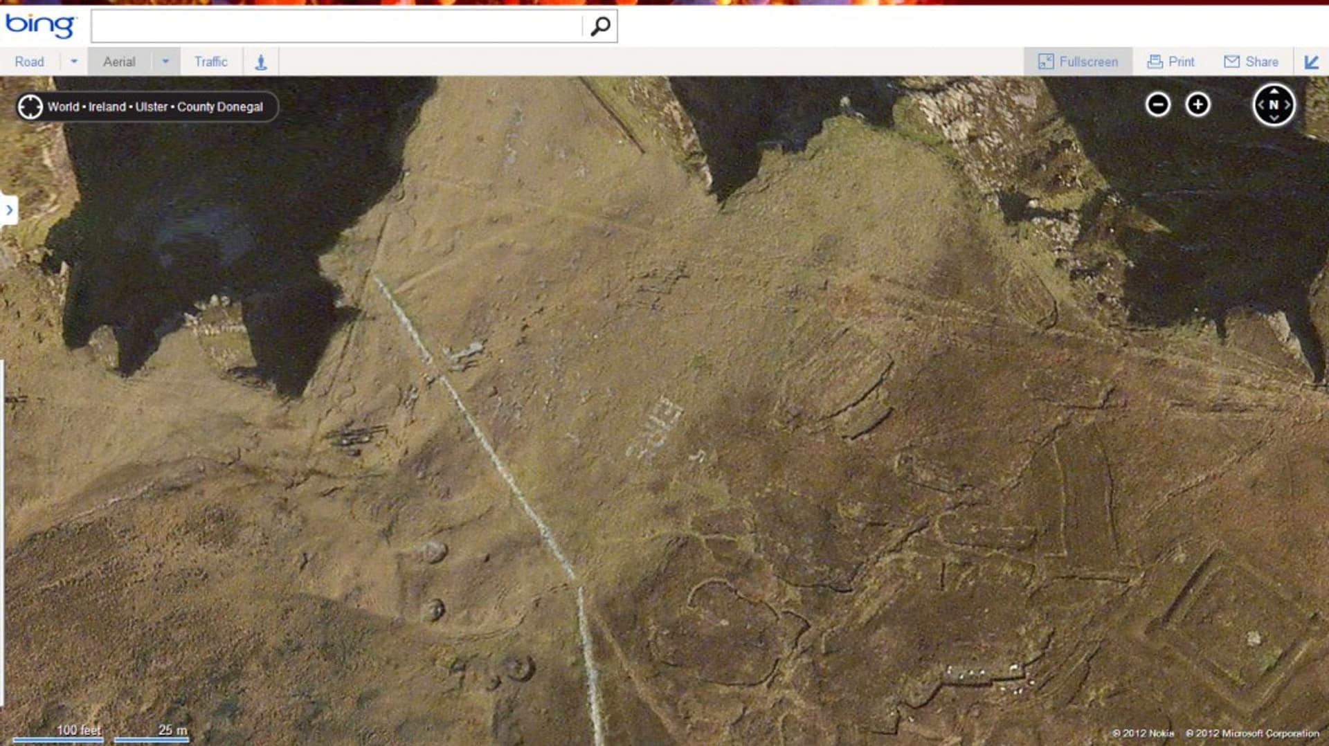
The Coastal Watch was set up in 1939 to guard against invasion of Ireland, which had declared neutrality, via the sea, and later to guide allied pilots flying over Irish territory. More than 80 sites around the coast from north Louth to Donegal were selected, and look out posts (LOP’s) were located on these sites. Initially, the watchmen were housed in tents; however, these did not provide great shelter so eventually a standard pill box was erected at each site. These were tiny boxes with room for a small fire and windows facing towards the sea. The men, generally locals, kept a constant watch on activity at sea and noted the movement of ships and aircraft throughout the duration of the war. As the war raged on the number of aircraft flying over Ireland began to increase and a growing number of these planes were crashing on Irish soil or being forced to land due to the pilot losing their bearings or running low on fuel. In 1943 the Coast Watching Service began to construct giant stone EIRE markers close by to the LOPs, mainly along the west coast. Allied pilots were then given a list of the locations and corresponding numbers to aid navigation These signs are also called Marker Signs, EIRE signs, The EIRE Markings, and the Neutrality Signs. Each site was numbered from 1 through 83, with number 1 being in Ballagan Point, County Louth, and number 83 Foileye, County Kerry. “The Head” on Arranmore Island was numbered 75. The letters spell the word Éire, which means Ireland in the Irish language, and were generally 12m by 6m and built with up to 150 tons of whitewashed stones. The stone EIRE signs are now a unique part of our landscape and heritage, and tell an important part of the story of our World War 2 neutrality. After the war had ended, however, many of these signs were removed, thankfully Arranmore’s neutrality sign survived but needs refurbishment. Their story is one worth remembering and their physical structures, along with the affiliated LOP’S, are worth preserving for future generations.